
 15 Topics
 5 Days
 45 Sessions
Programme Overview
Training Description
M&E Specialists
GIS and Remote Sensing Professionals
Environmental Analysts
Government Agencies and NGOs working on large-scale projects
Researchers and Academics interested in geospatial data analysis
Development practitioners working in sectors such as agriculture, climate change, and disaster management
Session Objectives
- Understand the Fundamentals of Google Earth Engine (GEE): Gain a solid understanding of GEE's capabilities, tools, and applications for geospatial analysis. Perform Data Preprocessing and Analysis: Learn how to access, clean, and process large satellite imagery datasets for M&E purposes. Conduct Spatial Analysis for M&E Projects: Utilize GEE for performing land-use classification, change detection, and environmental monitoring over large areas. Integrate Remote Sensing Data with GIS Tools: Use GEE alongside GIS platforms for better decision-making and project evaluation. Assess the Impact of Development Projects: Leverage satellite data to monitor, measure, and report the effectiveness of large-scale projects in sectors such as agriculture, infrastructure, and health. Visualize and Report Results: Develop visualizations and reports that effectively communicate findings to stakeholders and project teams. Implement Machine Learning in GEE for M&E: Learn how to apply machine learning algorithms for automating feature extraction, classification, and regression models. Monitor and Evaluate Environmental and Social Changes: Understand how to use satellite data to track environmental changes such as deforestation, water quality, and urban development. Use GEE for Climate Change Monitoring: Apply GEE to assess climate variability, land degradation, and other critical aspects of sustainable development.
About the Course
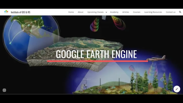
Google Earth Engine (GEE) is a powerful platform for analyzing large-scale geospatial datasets, ideal for Monitoring and Evaluation (M&E) professionals. This course empowers participants to leverage GEE's cloud-based tools to monitor environmental changes, evaluate project impacts, and measure progress across a range of sectors, including agriculture, disaster management, climate change, and sustainable development. With access to an extensive archive of satellite imagery and geospatial data, participants will learn how to utilize GEE for data processing, analysis, and reporting—providing actionable insights for decision-making in M&E projects.
Curriculum & Topics
15 Topics | 45 Sessions
-
 Workshop 1.1:
Overview of Google Earth Engine’s capabilities and features.
-
Workshop 1.2:
Understanding the cloud-based platform and its benefits for large-scale geospatial analysis.
-
Workshop 1.3:
Setting up a Google Earth Engine account and basic navigation.
-
Workshop 2.1:
Fundamentals of remote sensing and satellite imagery.
-
Workshop 2.2:
Understanding the types of remote sensing data used in M&E projects.
-
Workshop 2.3:
Overview of key satellite missions and datasets (Landsat, Sentinel, MODIS).
-
Workshop 3.1:
Accessing satellite data and geospatial datasets in Google Earth Engine.
-
Workshop 3.2:
Data import/export options in GEE.
-
Workshop 3.3:
Using GEE's data catalog to find relevant datasets for M&E.
-
Workshop 4.1:
Techniques for cleaning raw satellite data (cloud masking, geometric corrections).
-
Workshop 4.2:
Handling missing data and noise reduction methods.
-
Workshop 4.3:
Standardizing data for analysis and interpretation.
-
Workshop 5.1:
Performing land cover classification and change detection using GEE.
-
Workshop 5.2:
Techniques for analyzing environmental changes such as deforestation and urban expansion.
-
Workshop 5.3:
Application of geospatial algorithms in project monitoring.
-
Workshop 6.1:
Understanding time-series analysis using satellite imagery.
-
Workshop 6.2:
Techniques for detecting trends and anomalies in geospatial data.
-
Workshop 6.3:
Analyzing temporal patterns in land use, vegetation, and other environmental factors.
-
Workshop 7.1:
Exporting data from GEE to GIS platforms (ArcGIS, QGIS).
-
Workshop 7.2:
Integrating GEE outputs with GIS tools for more detailed spatial analysis.
-
Workshop 7.3:
Creating layered visualizations in GIS for decision support.
-
Workshop 8.1:
Techniques for visualizing satellite data (maps, charts, and graphs).
-
Workshop 8.2:
Creating custom visualizations to represent environmental or project data.
-
Workshop 8.3:
Exporting and sharing visual outputs for reporting.
-
Workshop 9.1:
Using GEE to assess the environmental impact of development projects.
-
Workshop 9.2:
Measuring changes in land cover, water bodies, and vegetation due to interventions.
-
Workshop 9.3:
Assessing the success of conservation, reforestation, or infrastructure projects using satellite data.
-
Workshop 10.1:
Leveraging GEE to monitor agricultural activities, crop health, and land use changes.
-
Workshop 10.2:
Using remote sensing to evaluate irrigation and water resource management in agriculture.
-
Workshop 10.3:
Analyzing rural development initiatives such as roads, schools, and infrastructure using geospatial data.
-
Workshop 11.1:
Using GEE for climate change monitoring (temperature, precipitation, sea-level rise).
-
Workshop 11.2:
Analyzing the effects of climate change on vulnerable regions using satellite data.
-
Workshop 11.3:
Techniques for assessing the effectiveness of climate adaptation and mitigation projects.
-
Workshop 12.1:
Introduction to machine learning techniques available in GEE.
-
Workshop 12.2:
Supervised and unsupervised classification for land cover detection.
-
Workshop 12.3:
Using GEE for automated feature extraction and pattern recognition in large datasets.
-
Workshop 13.1:
Advanced spatial analysis techniques in GEE (e.g., regression, clustering).
-
Workshop 13.2:
Modeling and predicting land use changes, deforestation rates, and other M&E metrics.
-
Workshop 13.3:
Using GEE for environmental modeling in urban planning and disaster risk reduction.
-
Workshop 14.1:
Best practices for reporting M&E results using Google Earth Engine data.
-
Workshop 14.2:
Creating dynamic, user-friendly reports with visual maps and charts.
-
Workshop 14.3:
Presenting findings to stakeholders through interactive dashboards and online platforms.
-
Workshop 15.1:
In-depth case studies showcasing the use of Google Earth Engine in large-scale M&E projects.
-
Workshop 15.2:
Practical exercises on using GEE for monitoring, evaluation, and impact assessment.
-
Workshop 15.3:
Discussing lessons learned and opportunities for using GEE in various sectors like agriculture, disaster management, and climate change.