
 15 Topics
 5 Days
 54 Sessions
Programme Overview
Training Description
Geospatial Analysts
Surveyors
Environmental Consultants
Urban Planners
Engineers (Civil, Environmental, and Geotechnical)
Data Scientists and GIS Professionals
Lidar Data Technicians
Anyone looking to enhance their knowledge of Lidar technology and 3D modeling techniques
Session Objectives
- Understand the Fundamentals of Lidar Technology Gain a comprehensive understanding of Lidar principles, types of Lidar systems, and how Lidar data is collected from airborne and terrestrial platforms. Learn to Process Raw Lidar Data Master the techniques of converting raw Lidar data into meaningful outputs, including point clouds, digital elevation models (DEMs), and other geospatial products. Generate 3D Terrain Models Acquire the skills to create accurate 3D models of terrain using Lidar data and apply advanced techniques for terrain modeling and surface analysis. Work with GIS Software for Lidar Data Integration Understand how to integrate Lidar data into GIS software platforms (such as ArcGIS and QGIS) to analyze terrain features and generate actionable insights. Explore Applications of Lidar Data Learn about the applications of Lidar technology in various sectors, including environmental monitoring, flood modeling, forestry management, and infrastructure planning. Optimize Lidar Data for Accuracy and Efficiency Gain insights into best practices for ensuring the accuracy and reliability of Lidar data, as well as techniques for reducing processing time and improving overall efficiency. Develop Skills to Interpret and Visualize 3D Models Master techniques for interpreting 3D terrain models and creating visualizations that effectively communicate findings to stakeholders. This course offers an in-depth, hands-on learning experience, empowering professionals to leverage Lidar technology for advanced geospatial analysis and decision-making.
About the Course
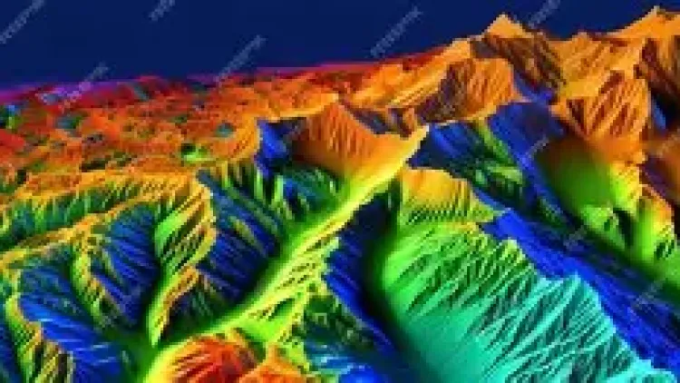
Lidar (Light Detection and Ranging) technology has revolutionized the way we capture and analyze 3D data. As an essential tool in industries such as urban planning, environmental monitoring, and geospatial sciences, Lidar enables the creation of highly accurate and detailed topographic models and terrain maps. This training course delves into the principles of Lidar data collection, processing, and its application in 3D terrain modeling. Participants will learn how to effectively process raw Lidar data, generate 3D terrain models, and use these models for various environmental, engineering, and planning applications.
Curriculum & Topics
15 Topics | 54 Sessions
-
 Workshop 1.1:
Overview of Lidar systems and their applications
-
Workshop 1.2:
Types of Lidar: Airborne vs. Terrestrial Lidar
-
Workshop 1.3:
Key components and working principles of Lidar systems
-
Workshop 1.4:
Basic terminology and concepts in Lidar data collection
-
Workshop 2.1:
Point clouds, Digital Elevation Models (DEMs), and Digital Surface Models (DSMs)
-
Workshop 2.2:
LiDAR data formats: LAS, LAZ, and others
-
Workshop 2.3:
Characteristics of Lidar data: resolution, accuracy, and precision
-
Workshop 3.1:
Airborne Lidar data collection: scanning systems and flight planning
-
Workshop 3.2:
Terrestrial Lidar data acquisition: setup, calibration, and scanning techniques
-
Workshop 3.3:
Factors affecting data quality during Lidar data collection
-
Workshop 4.1:
Filtering and noise reduction techniques
-
Workshop 4.2:
Point cloud classification: ground, vegetation, buildings, and other features
-
Workshop 4.3:
Alignment and geo-referencing of Lidar data
-
Workshop 4.4:
Removing artifacts from raw data
-
Workshop 5.1:
Techniques for processing large point clouds
-
Workshop 5.2:
Merging multiple Lidar data sources
-
Workshop 5.3:
Identifying and removing outliers and noise from point clouds
-
Workshop 5.4:
Conducting quality control and accuracy assessment of point clouds
-
Workshop 6.1:
Generating DEMs from Lidar point clouds
-
Workshop 6.2:
Methods for contour generation and visualization
-
Workshop 6.3:
Applying interpolation techniques for DEM creation
-
Workshop 6.4:
Understanding the difference between DEM and DSM
-
Workshop 7.1:
Principles of 3D terrain modeling with Lidar data
-
Workshop 7.2:
Advanced techniques for surface creation and refinement
-
Workshop 7.3:
Analysing terrain features: slopes, aspect, and elevation
-
Workshop 7.4:
Surface interpolation and modeling techniques
-
Workshop 8.1:
Importing Lidar data into GIS platforms (e.g., ArcGIS, QGIS)
-
Workshop 8.2:
Using GIS tools for terrain analysis and modeling
-
Workshop 8.3:
Layering Lidar data with other geospatial datasets (e.g., satellite imagery, vector data)
-
Workshop 9.1:
Visualizing 3D terrain models for effective communication
-
Workshop 9.2:
Creating 3D maps and interactive models
-
Workshop 9.3:
Visual analytics and color-coding techniques for terrain features
-
Workshop 10.1:
Using Lidar for environmental studies: vegetation, water bodies, and land use
-
Workshop 10.2:
Flood modeling and risk assessment with Lidar data
-
Workshop 10.3:
Forest and vegetation analysis: tree height, canopy density, and biomass estimation
-
Workshop 11.1:
Using Lidar for urban modeling and infrastructure analysis
-
Workshop 11.2:
Road and railway modeling with Lidar
-
Workshop 11.3:
3D city modeling and building footprint extraction
-
Workshop 11.4:
Monitoring of construction projects with Lidar data
-
Workshop 12.1:
Techniques for coastal mapping with Lidar
-
Workshop 12.2:
Floodplain mapping using DEMs and Lidar data
-
Workshop 12.3:
Understanding hydrological modeling and flood risk management
-
Workshop 13.1:
Introduction to automated workflows and scripts for processing Lidar data
-
Workshop 13.2:
Using Python and other programming languages to automate Lidar data processing
-
Workshop 13.3:
Tools and software for batch processing of Lidar data
-
Workshop 13.4:
Workflow optimization and time-saving techniques
-
Workshop 14.1:
Best practices for data quality control
-
Workshop 14.2:
Accuracy assessment methods for Lidar data
-
Workshop 14.3:
Statistical techniques for evaluating point cloud precision
-
Workshop 14.4:
Ensuring data consistency and reliability for modeling
-
Workshop 15.1:
Emerging technologies in Lidar data acquisition
-
Workshop 15.2:
Integration of Lidar with drones and other unmanned systems
-
Workshop 15.3:
Future advancements in data processing and modeling tools
-
Workshop 15.4:
Exploring the role of Lidar in smart city development and sustainable planning