
 8 Topics
 5 Days
 16 Sessions
Programme Overview
Training Description
- NGO and civil society organization representatives
- Security and emergency response personnel
- Project and programme managers working on resilience initiatives
- Business continuity and organizational resilience professionals
- Occupational health and safety officers
- Geospatial/GIS specialists and risk mapping professionals
- Community resilience and development officers
- Policy makers and senior decision-makers involved in disaster preparedness
- Professionals responsible for contingency planning and emergency response
- Representatives of utilities, transport, telecommunications, energy, and other critical service providers
- Consultants, researchers, academics, and trainers working in disaster risk and resilience
Session Objectives
- understand the concepts of hazard assessment, elements at risk mapping, vulnerability assessment, and risk assessment; formulate the spatial data requirements for risk assessment; generate an elements at risk data base using GIS; formulate the requirements of hazard data and methods; apply various methods for vulnerability assessment; generate risk maps using qualitative and quantitative methods; have insight in how a risk assessment could be carried out in your own situation;
About the Course
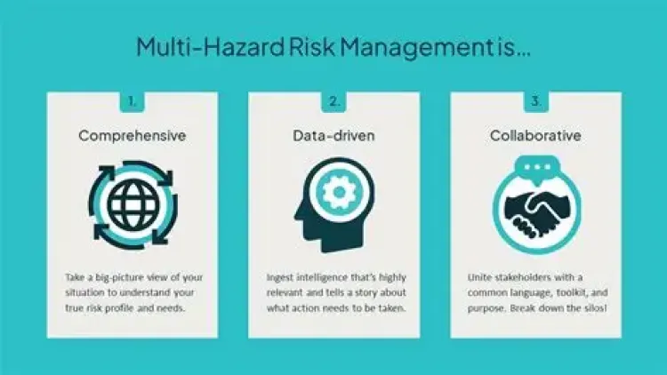
The Multi-Hazard Risk Assessment Workshop provides participants with practical knowledge and tools for identifying, analyzing, and assessing risks arising from multiple natural, technological, environmental, and human-induced hazards. The workshop adopts an integrated approach to understanding how different hazards interact with vulnerabilities, exposure, and existing capacities to create complex and cascading risks.Through practical exercises, case studies, scenario analysis, and group discussions, participants will learn how to assess the likelihood and potential consequences of different hazards, identify vulnerable populations and critical assets, and develop appropriate risk reduction and preparedness measures. Emphasis is also placed on understanding cumulative, compound, and cascading hazards and their implications for communities, organizations, infrastructure, and essential services.The workshop equips participants to translate risk assessment findings into actionable disaster risk reduction, mitigation, preparedness, response, and resilience strategies. It is designed to strengthen evidence-based decision-making and improve the ability of organizations and communities to anticipate, prepare for, and manage complex multi-hazard environments.
Curriculum & Topics
8 Topics | 16 Sessions
-
 Workshop 1.1:
Theory: Introduction to disaster risk management and risk assessment.
-
Workshop 1.2:
Exercise: of Generation a hazard profile using disaster databases; Introduction to ILWIS, and introduction to the RiskCity dataset. Learn the various hazard problems by evaluating high-resolution images
-
Workshop 2.1:
Theory: Presentation of data requirements for the various types of hazards. Sources of spatial data.
-
Workshop 2.2:
Exercises: Defining spatial data requirements for risk assessment; Internet search for information on risk assessment; acquiring free and low-cost data; generating three-dimensional image data using Google Earth; stereo image interpretation
-
Workshop 3.1:
Theory: Hazard types; Main concepts of hazard assessment; Frequency magnitude – relationships
-
Workshop 3.2:
Exercises: Frequency assessment; Selection of hazard assessment example (flooding, landslides, earthquakes, technological hazards, volcanic hazards etc)
-
Workshop 4.1:
Theory: Types of elements at risk; classification of buildings, infrastructure, lifelines, critical facilities; population information; a collection of elements at risk information.
-
Workshop 4.2:
Exercise: Generating elements at risk database from scratch; Generating elements at risk database using available data (building footprint map, census data, and LiDAR)
-
Workshop 5.1:
Theory: Types of vulnerability; social vulnerability; physical vulnerability; methods for vulnerability assessment; participatory GIS; Spatial Multi-Criteria Evaluation
-
Workshop 5.2:
Exercises: Defining vulnerability curves; Spatial Multicriteria evaluation for vulnerability assessment
-
Workshop 6.1:
Theory: Loss estimation models; HAZUS; qualitative risk assessment; QRA; basics of flood risk, seismic risk, landslide and technological risk assessment;
-
Workshop 6.2:
Exercises: Creating risk curves; Selection of risk assessment method: flooding, earthquakes, landslides, technological.
-
Workshop 7.1:
Theory: Risk evaluation; risk governance; risk communication; cost-benefit analysis; Using risk information for emergency planning; spatial planning, and Environmental Impact Assessment
-
Workshop 7.2:
Exercises: Multi-hazard risk assessment for buildings; assessing economic losses; Cost benefit analysis
-
Workshop 8.1:
Discussion: How to do such a study in your area?
-
Workshop 8.2:
Final Project: Selection of project topic related to risk assessment and its use in risk management