
 15 Topics
 5 Days
 30 Sessions
Programme Overview
Training Description
Disaster Risk Management (DRM) specialists
Emergency response planners and managers
Government officials and policymakers involved in disaster management
NGOs and aid organizations
GIS professionals interested in applying their skills to disaster risk management
Students and researchers in related fields
Session Objectives
- Understand the role of GIS in disaster risk management Gain a deep understanding of how GIS can support disaster preparedness, response, and recovery efforts. Use GIS tools for risk assessment Learn how to map and analyze hazards, vulnerabilities, and risk areas using GIS technology. Apply spatial data analysis to disaster scenarios Develop the skills to use spatial data analysis to evaluate the impact of natural and man-made disasters and predict future risks. Implement GIS for emergency response coordination Explore how GIS facilitates resource allocation, disaster response coordination, and decision-making during emergencies. Learn about GIS-based disaster monitoring and damage assessment Understand how satellite imagery, remote sensing, and GIS data can be used to monitor disaster impact and conduct rapid damage assessments. Familiarize with real-time data collection and analysis Gain experience in collecting and analyzing real-time data for effective decision-making in disaster response scenarios. Develop disaster risk management plans using GIS Learn how to develop strategic DRM plans that incorporate GIS for comprehensive risk assessment and resource allocation. Enhance collaboration with stakeholders through GIS Learn how to communicate and collaborate with emergency response teams, government agencies, and other stakeholders using GIS data. This course combines theoretical knowledge with practical, hands-on experience, ensuring that participants are well-equipped to apply GIS technology effectively in disaster risk management and emergency response settings. Understand the Fundamentals of Remote Sensing Gain a strong foundation in remote sensing technology and principles Learn about various remote sensing platforms such as satellites, drones, and aircraft Understand the types of sensors used to collect climate data and the role of satellite imaging in climate change monitoring Analyze Climate Change Indicators Using Remote Sensing Data Learn how to monitor climate change indicators such as sea-level rise, ice cap melting, and land use changes Apply satellite imagery to detect and analyze temperature variations, deforestation, and carbon emissions Use Remote Sensing Tools for Data Collection and Analysis Gain hands-on experience in using GIS software and remote sensing tools such as Google Earth Engine and ArcGIS Develop the skills to process and analyze satellite data for monitoring climate change Monitor Climate Change Impacts on Ecosystems Explore the relationship between climate change and ecosystem disruptions, such as habitat loss and biodiversity changes Understand the role of remote sensing in tracking forest cover, vegetation health, and water resources Assess Environmental Policy and Adaptation Strategies Learn how remote sensing data can inform climate change policies, disaster response strategies, and climate adaptation plans Understand the role of remote sensing in achieving climate goals set by international agreements like the Paris Agreement Explore Future Trends in Climate Change Monitoring Investigate the latest advancements in remote sensing technology for climate monitoring Stay updated on the emerging tools and technologies that will revolutionize climate change research This course will provide participants with a comprehensive toolkit to understand, analyze, and monitor the effects of climate change, equipping them to take informed actions in their respective fields.
About the Course
Geographic Information Systems (GIS) play a pivotal role in managing disaster risks and improving emergency response efforts. In the face of natural and man-made disasters, GIS technology enables professionals to map hazards, assess vulnerabilities, and make informed decisions quickly. This course is designed to equip participants with the essential skills to leverage GIS in disaster risk management (DRM) and emergency response. Using spatial analysis and mapping techniques, learners will develop the capability to mitigate risks, respond efficiently during emergencies, and plan for long-term recovery efforts.
Curriculum & Topics
15 Topics | 30 Sessions
-
 Workshop 1.1:
Overview of GIS technology and its application in disaster risk management and emergency response.
-
Workshop 1.2:
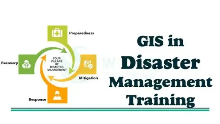
Understanding the role of GIS in the disaster cycle: mitigation, preparedness, response, and recovery.
-
Workshop 2.1:
Introduction to disaster risk management frameworks.
-
Workshop 2.2:
Exploring the key components of risk assessment, vulnerability analysis, and mitigation strategies.
-
Workshop 3.1:
Techniques for mapping disaster-prone areas using GIS tools.
-
Workshop 3.2:
Identifying hazards and assessing risks through spatial data analysis.
-
Workshop 4.1:
Utilizing GIS for mapping different types of hazards (earthquakes, floods, wildfires, etc.).
-
Workshop 4.2:
Assessing vulnerability using demographic, economic, and infrastructure data layers.
-
Workshop 5.1:
Introduction to remote sensing technologies for disaster monitoring.
-
Workshop 5.2:
Using satellite imagery to detect and assess the extent of disasters.
-
Workshop 6.1:
How GIS supports emergency response teams in real-time decision-making.
-
Workshop 6.2:
Coordination and mapping of resources such as shelters, medical facilities, and first responders.
-
Workshop 7.1:
Methods for collecting real-time data using GIS tools and mobile applications.
-
Workshop 7.2:
Analyzing and visualizing real-time data for immediate decision-making in emergencies.
-
Workshop 8.1:
Techniques for using GIS to monitor ongoing disasters.
-
Workshop 8.2:
Conducting damage assessments post-disaster using spatial data and remote sensing tools.
-
Workshop 9.1:
Identifying flood-prone areas through GIS-based modeling and simulations.
-
Workshop 9.2:
Mapping flood risk zones and planning for flood mitigation and evacuation.
-
Workshop 10.1:
Modeling earthquake hazards and assessing their impact using GIS.
-
Workshop 10.2:
Identifying critical infrastructure at risk and developing preparedness strategies.
-
Workshop 11.1:
Mapping logistics and supply chain networks for disaster response.
-
Workshop 11.2:
Using GIS for optimizing resource distribution and managing logistics during disasters.
-
Workshop 12.1:
Techniques for sharing GIS data among stakeholders, such as emergency response teams, government agencies, and NGOs.
-
Workshop 12.2:
Enhancing inter-agency collaboration through centralized GIS platforms.
-
Workshop 13.1:
Using GIS to assess long-term recovery needs.
-
Workshop 13.2:
Mapping recovery progress and guiding rebuilding efforts with spatial analysis tools.
-
Workshop 14.1:
Utilizing GIS technology to develop and integrate early warning systems for disaster-prone areas.
-
Workshop 14.2:
Case studies of early warning systems in practice.
-
Workshop 15.1:
Review of real-world case studies where GIS played a crucial role in disaster risk management.
-
Workshop 15.2:
Best practices for applying GIS to both large-scale and localized disaster response efforts.