
 12 Topics
 5 Days
 37 Sessions
Programme Overview
Training Description
Geospatial Analysis: GIS specialists, cartographers, and remote sensing analysts
Urban Planning & Smart Cities: Urban planners, smart city project managers, and infrastructure developers
Environmental Science & Management: Environmental analysts, ecologists, and natural resource managers
Agriculture & Precision Farming: Agronomists, agricultural technology specialists, and precision farming professionals
Disaster Management & Emergency Response: Disaster response teams, risk assessment analysts, and emergency management professionals
AI and Machine Learning Enthusiasts: Data scientists, AI researchers, and deep learning practitioners interested in geospatial data
Session Objectives
- Upon completing this course, participants will be able to: Understand the fundamentals of GeoAI and how it applies to geospatial data analysis. Master the use of deep learning algorithms in the context of remote sensing data. Develop the skills to process, analyze, and visualize satellite, aerial, and UAV imagery using AI techniques. Apply advanced AI and machine learning models to extract valuable insights from remote sensing data. Gain proficiency in using popular tools and platforms such as TensorFlow, Keras, PyTorch, and Google Earth Engine for geospatial AI and remote sensing applications. Solve real-world problems in areas like agriculture, forestry, environmental monitoring, and urban planning through AI-powered remote sensing analysis. Create and deploy machine learning models for land-use classification, change detection, and object detection in satellite imagery. Understand the ethical considerations and challenges in the use of AI for geospatial data analysis. Explore future trends and innovations in GeoAI and deep learning for remote sensing applications. This course provides the foundational and advanced knowledge necessary for professionals looking to stay ahead of the curve in applying AI and deep learning in the geospatial domain, ensuring you are well-equipped to take on the next-generation challenges in your field.
About the Course
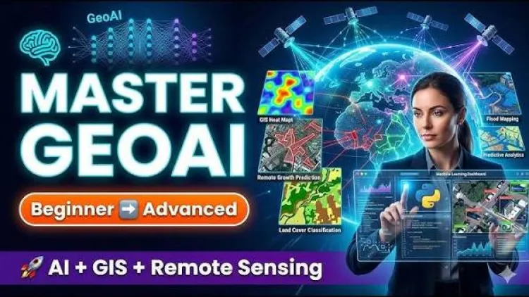
The Geospatial AI (GeoAI) and Deep Learning for Remote Sensing Training Course is designed to equip professionals with the advanced skills required to leverage artificial intelligence (AI) and deep learning techniques in analyzing geospatial data. As the demand for data-driven decision-making in industries like urban planning, agriculture, environmental monitoring, and disaster management increases, the integration of AI with remote sensing technologies is revolutionizing how geospatial data is processed and interpreted. This course covers the latest methodologies, tools, and applications of GeoAI and deep learning to analyze satellite, aerial, and UAV data, enabling you to make informed decisions, optimize processes, and drive innovation in your projects.
Curriculum & Topics
12 Topics | 37 Sessions
-
 Workshop 1.1:
Overview of GeoAI and its role in modern geospatial analysis.
-
Workshop 1.2:
Introduction to remote sensing technologies and their integration with AI.
-
Workshop 1.3:
Key concepts and applications of AI in geospatial data.
-
Workshop 2.1:
Basics of deep learning and neural networks.
-
Workshop 2.2:
Overview of machine learning models used in remote sensing.
-
Workshop 2.3:
The role of deep learning in processing remote sensing imagery.
-
Workshop 3.1:
Types of geospatial data: Satellite, aerial, and UAV imagery.
-
Workshop 3.2:
Data preprocessing techniques for remote sensing.
-
Workshop 3.3:
Image correction, normalization, and feature extraction.
-
Workshop 4.1:
Supervised vs. unsupervised learning in remote sensing.
-
Workshop 4.2:
Algorithms for geospatial analysis: Decision trees, random forests, and k-NN.
-
Workshop 4.3:
Understanding the application of AI techniques to geospatial problems.
-
Workshop 5.1:
CNNs (Convolutional Neural Networks) for spatial data analysis.
-
Workshop 5.2:
RNNs (Recurrent Neural Networks) for temporal data analysis.
-
Workshop 5.3:
Implementing GANs (Generative Adversarial Networks) in remote sensing applications.
-
Workshop 6.1:
Object detection using deep learning models (YOLO, Faster R-CNN).
-
Workshop 6.2:
Land-use/land-cover classification with deep learning.
-
Workshop 6.3:
Application to urban areas, agriculture, and forest monitoring.
-
Workshop 7.1:
Techniques for detecting changes in satellite imagery over time.
-
Workshop 7.2:
Deep learning approaches for land cover classification.
-
Workshop 7.3:
Use cases in monitoring environmental changes, deforestation, and urban growth.
-
Workshop 8.1:
Visualizing remote sensing data with AI-driven tools.
-
Workshop 8.2:
Creating meaningful representations of complex geospatial data.
-
Workshop 8.3:
Interactive visualization platforms for real-time data exploration.
-
Workshop 9.1:
Using GeoAI for crop monitoring, yield prediction, and disease detection.
-
Workshop 9.2:
Remote sensing techniques for precision farming.
-
Workshop 9.3:
Integrating AI and remote sensing to optimize agricultural practices.
-
Workshop 10.1:
Applications of GeoAI in monitoring air and water quality, deforestation, and wildlife tracking.
-
Workshop 10.2:
Using AI to predict environmental changes and risks.
-
Workshop 10.3:
AI models for ecosystem and biodiversity monitoring.
-
Workshop 11.1:
Analyzing urban growth patterns with GeoAI.
-
Workshop 11.2:
Smart city initiatives utilizing AI and remote sensing for infrastructure management.
-
Workshop 11.3:
Using AI to optimize land use, traffic, and energy resources in urban settings.
-
Workshop 12.1:
Ethical challenges in using AI for geospatial analysis.
-
Workshop 12.2:
Ensuring data privacy and fairness in GeoAI models.
-
Workshop 12.3:
Future trends: Advancements in AI, deep learning, and remote sensing technologies for smarter geospatial applications.
-
Workshop 12.4:
This comprehensive course provides you with the knowledge and hands-on skills needed to effectively apply GeoAI and deep learning in remote sensing, preparing you for the latest advancements and challenges in geospatial analysis across various industries.