
 15 Topics
 5 Days
 60 Sessions
Programme Overview
Training Description
Farmers and agricultural producers
Agricultural consultants and advisors
Agricultural researchers and scientists
Drone operators and technicians
Precision agriculture specialists
Agricultural engineers and technologists
Agribusiness professionals
Farm managers and operators
GIS and remote sensing analysts
Sustainability officers
Rural development practitioners
Agricultural educators
Students and enthusiasts of agricultural technology
Session Objectives
- Understand the principles and benefits of drone technology in crop monitoring. Implement techniques for planning and executing drone flights for agricultural surveys. Utilize different sensors and payloads for crop data collection. Understand the principles of remote sensing and image processing for agriculture. Implement techniques for analyzing drone imagery for crop health assessment. Utilize drone data for yield estimation and prediction. Implement techniques for creating orthomosaic maps and 3D models from drone imagery. Understand the role of drone technology in precision agriculture applications. Implement techniques for using drone data for variable rate application.
About the Course
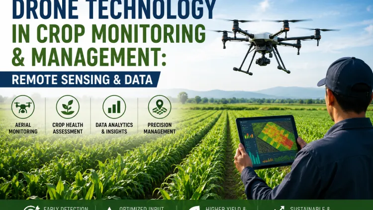
Drone Technology in Crop Monitoring and Management equips agricultural professionals with the skills to utilize drones for remote sensing and data analysis. This course focuses on capturing high-resolution imagery, analyzing data for crop health and yield assessment, and implementing targeted management strategies. Participants will learn to fly drones, process data, and integrate drone technology into their farming practices. By mastering drone technology, professionals can enhance crop monitoring, improve resource efficiency, and make data-driven decisions.
Curriculum & Topics
15 Topics | 60 Sessions
-
 Workshop 1.1:
Principles and benefits of drone applications in farming.
Workshop 1.1:
Principles and benefits of drone applications in farming.
-
Workshop 1.2:
Understanding the role of remote sensing in crop management.
-
Workshop 1.3:
Benefits of utilizing aerial data for decision-making.
-
Workshop 1.4:
Historical development of drone technology in agriculture.
-
Workshop 2.1:
Techniques for planning safe and efficient drone flights.
-
Workshop 2.2:
Utilizing flight planning software and apps.
-
Workshop 2.3:
Understanding flight parameters and mission objectives.
-
Workshop 2.4:
Implementing pre-flight checks and safety procedures.
-
Workshop 3.1:
Utilizing RGB, multispectral, and thermal sensors for crop analysis.
-
Workshop 3.2:
Understanding sensor specifications and data outputs.
-
Workshop 3.3:
Selecting appropriate payloads for specific agricultural applications.
-
Workshop 3.4:
Calibrating and maintaining sensors for accurate data collection.
-
Workshop 4.1:
Understanding electromagnetic radiation and spectral signatures.
-
Workshop 4.2:
Implementing image processing techniques for data enhancement.
-
Workshop 4.3:
Utilizing vegetation indices for crop health assessment.
-
Workshop 4.4:
Analyzing spectral reflectance for stress detection.
-
Workshop 5.1:
Implementing techniques for visual interpretation of drone imagery.
-
Workshop 5.2:
Utilizing image analysis software for crop health monitoring.
-
Workshop 5.3:
Detecting nutrient deficiencies, disease outbreaks, and weed infestations.
-
Workshop 5.4:
Assessing crop vigor and biomass.
-
Workshop 6.1:
Implementing techniques for correlating drone data with yield parameters.
-
Workshop 6.2:
Utilizing machine learning algorithms for yield prediction.
-
Workshop 6.3:
Developing yield maps and forecasting models.
-
Workshop 6.4:
Assessing spatial variability in crop yield.
-
Workshop 7.1:
Implementing photogrammetry techniques for image stitching.
-
Workshop 7.2:
Generating orthomosaic maps for field visualization.
-
Workshop 7.3:
Creating 3D models for terrain analysis and infrastructure planning.
-
Workshop 7.4:
Utilizing software for generating accurate and georeferenced maps.
-
Workshop 8.1:
Implementing drone data for site-specific management.
-
Workshop 8.2:
Utilizing drone technology for variable rate application.
-
Workshop 8.3:
Integrating drone data with other precision agriculture tools.
-
Workshop 8.4:
Applications in irrigation management and pest control.
-
Workshop 9.1:
Implementing techniques for generating prescription maps from drone data.
-
Workshop 9.2:
Utilizing variable rate applicators for precise input management.
-
Workshop 9.3:
Optimizing fertilizer and pesticide application.
-
Workshop 9.4:
Benefits in resource efficiency and environmental impact.
-
Workshop 10.1:
Understanding national and local regulations for drone operations.
-
Workshop 10.2:
Obtaining necessary permits and certifications.
-
Workshop 10.3:
Implementing safe flight practices and airspace awareness.
-
Workshop 10.4:
Addressing privacy concerns and data security.
-
Workshop 11.1:
Implementing data interoperability standards.
-
Workshop 11.2:
Utilizing cloud-based platforms for data storage and sharing.
-
Workshop 11.3:
Integrating drone data with GIS and FMIS.
-
Workshop 11.4:
Benefits in data management and decision support.
-
Workshop 12.1:
Analyzing the cost-effectiveness of drone applications.
-
Workshop 12.2:
Evaluating the return on investment for drone technology.
-
Workshop 12.3:
Identifying market opportunities for drone services.
-
Workshop 12.4:
Developing business models for drone-based agricultural solutions.
-
Workshop 13.1:
Developing communication and extension strategies.
-
Workshop 13.2:
Building farmer networks and knowledge sharing platforms.
-
Workshop 13.3:
Implementing training programs for drone operation and data analysis.
-
Workshop 13.4:
Scaling up successful drone technology models.
-
Workshop 14.1:
Analyzing real-world examples of drone applications in agriculture.
-
Workshop 14.2:
Highlighting best practices and innovative techniques.
-
Workshop 14.3:
Documenting economic and environmental impacts.
-
Workshop 14.4:
Farmer testimonials and technology demonstrations.
-
Workshop 15.1:
Exploring emerging trends and innovations.
-
Workshop 15.2:
Integrating artificial intelligence and advanced analytics.
-
Workshop 15.3:
Adapting to evolving technological landscapes.
-
Workshop 15.4:
Building sustainable and efficient agricultural systems through drone technology.