
Programme Overview
Training Description
Who Should Attend
-
Urban Planners and Architects: Looking to visualize and test design concepts in a 3D environment.
-
GIS Analysts and Developers: Seeking to transition from 2D mapping to multidimensional spatial modeling.
-
Civil and Structural Engineers: Focused on infrastructure lifecycle management and BIM-GIS integration.
-
Smart City Project Managers: Responsible for overseeing digital transformation initiatives in local government.
-
Sustainability Officers: Interested in using digital twins for carbon footprint tracking and resource management.
-
IT and Data Architects: Tasked with building the back-end infrastructure for real-time urban data streams.
Session Objectives
- Define the core components of 3D GIS and how they differ from traditional 2D mapping in an urban context.
- Analyze the lifecycle of a Digital Twin, from data acquisition (LiDAR, photogrammetry) to real-time visualization.
- Evaluate data integration techniques between BIM and GIS to create seamless indoor-outdoor urban models.
- Develop simulations for urban challenges, including climate change impact, infrastructure load, and public transport optimization.
- Implement governance frameworks for data privacy, security, and interoperability within a smart city ecosystem.
About the Course
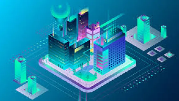
This program provides a comprehensive deep dive into the convergence of 3D GIS (Geographic Information Systems) and Digital Twin technology. Unlike static maps, a Digital Twin is a dynamic, virtual representation of a city’s physical assets, systems, and processes.
Throughout the training, participants will learn how to integrate IoT (Internet of Things) sensors, BIM (Building Information Modeling), and spatial analytics to simulate urban scenarios—such as traffic flow, energy consumption, and disaster response—before they happen in the real world.
Curriculum & Topics
13 Topics | 10 Days
-
 Subtopic 1.1:
• Overview of smart cities and urban challenges
Subtopic 1.1:
• Overview of smart cities and urban challenges
-
Subtopic 1.2:
• Role of GIS and Digital Twin technology in urban development
-
Subtopic 1.3:
• Key concepts and benefits of 3D GIS and digital twins for smart cities
-
Subtopic 2.1:
• Introduction to 3D GIS and its evolution
-
Subtopic 2.2:
• Geospatial data models and representation in 3D
-
Subtopic 2.3:
• Tools and platforms for creating 3D GIS models
-
Subtopic 3.1:
• Understanding Digital Twin technology
-
Subtopic 3.2:
• Core components and principles of digital twins
-
Subtopic 3.3:
• Applications of digital twins in urban management
-
Subtopic 4.1:
• Data sources for 3D GIS and digital twins
-
Subtopic 4.2:
• Methods for data collection: Remote sensing, IoT, and sensors
-
Subtopic 4.3:
• Data preprocessing and integration for modeling
-
Subtopic 5.1:
• Techniques for 3D GIS data visualization
-
Subtopic 5.2:
• Analyzing geospatial data in three dimensions
-
Subtopic 5.3:
• Using 3D GIS for urban planning and design
-
Subtopic 6.1:
• Process of creating a digital twin for a smart city
-
Subtopic 6.2:
• Integrating real-time data into digital twin models
-
Subtopic 6.3:
• Using digital twins for monitoring city systems and infrastructure
-
Subtopic 7.1:
• Techniques for integrating various geospatial data sources
-
Subtopic 7.2:
• Standards and best practices for data interoperability
-
Subtopic 7.3:
• Leveraging GIS and digital twin models for cross-system collaboration
-
Subtopic 8.1:
• Using 3D GIS to optimize urban transportation networks
-
Subtopic 8.2:
• Analyzing traffic patterns and congestion in digital twins
-
Subtopic 8.3:
• Planning for sustainable transport solutions in smart cities
-
Subtopic 9.1:
• Managing energy consumption and resources using 3D GIS models
-
Subtopic 9.2:
• Creating sustainable solutions for energy distribution and usage
-
Subtopic 9.3:
• Using digital twins to model energy flow in smart cities
-
Subtopic 10.1:
• Disaster risk modeling using 3D GIS
-
Subtopic 10.2:
• How digital twins can assist in disaster preparedness and recovery
-
Subtopic 10.3:
• Analyzing emergency responses with real-time data and digital twin models
-
Subtopic 11.1:
• Monitoring and maintaining urban infrastructure through digital twins
-
Subtopic 11.2:
• Using 3D GIS for infrastructure lifecycle management
-
Subtopic 11.3:
• Analyzing environmental data to drive sustainable practices in urban plannin
-
Subtopic 12.1:
• Role of GIS and digital twins in urban governance
-
Subtopic 12.2:
• Data-driven decision making for policy implementation
-
Subtopic 12.3:
• Enhancing public sector efficiency through digital twins
-
Subtopic 13.1:
• Trends in GIS and digital twin technologies
-
Subtopic 13.2:
• Emerging innovations and potential for smart city development
-
Subtopic 13.3:
• The evolving role of AI, machine learning, and big data in urban planning